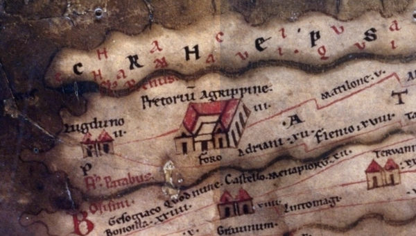
Most commonly, when we think of maps today, we think of detailed maps showing places in relation to each other geographically. Just as useful and more common in times gone by were illustrated itineraria or maps showing the relation between points along a journey. Maps such as those of Matthew Paris and his Stationes a Londinio ad Hierosolymam (Itinerary to the Holy Land) were of particular use to pilgrims. One of the most famous of these ancient iteneraria is the Roman Tabula Peutingeriana or Peutingerian Table showing travel routes between locations in the Roman Empire.
Here’s a different view of the same Peutingerian Table that sacrifices some of the feel of the original in favor of ease of usability and greater legibility.
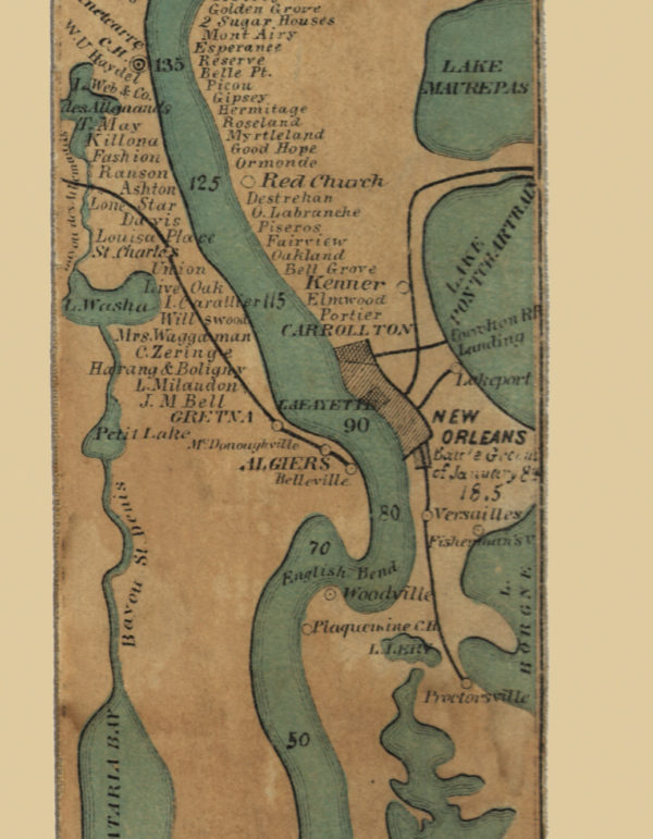
Compare this to the 1866 map of the Mississippi River by Coloney and Fairchild, dicussed in this article. It’s fascinating to see the Mississippi River with all of its bends and turns straightened horizontally in a way that preserves the feel of the river and its major landmarks, while rendering it on a relatively narrow ribbon. The full Coloney and Fairchild map at the library of congress is recommended for the greatest detail.

