The maps of Middle Earth have always held a special place with me, whether it’s been the original maps by J.R.R. Tolkien himself, the version by Pauline Baynes from the calendar that I owned once upon a time, or the detailed maps by Karen Wynn Fonstad that appeared in her Atlas of Middle Earth. The idea of a world with depth and history is always appealing and I must have explored every corner of the world, not only following the path of the Fellowship, but also the places mentioned in the stories or shown on the maps that were peripheral to the saga.
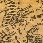
Of particular note was the lost kingdom of Arnor and the remains of its capital city, Annúminas, on the southern shore of Nenuial, also known as Lake Evendim. This is, without a doubt, my single most favorite place in Middle Earth. As the ruins of a once-great city, it barely merits a footnote in the story apart from being a special place to the Rangers of the North, the descendents of the northern Dúnedain.
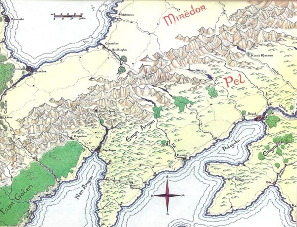
Which brings us to Pete Fenlon and his work over a decade and a half working at Iron Crown Enterprises working on their Middle Earth roleplaying game and the numerous supplements detailing parts of the world, expanding on the works of Tolkien, and creating new adventures. Many of us were inspired by his work and have so many great memories of each and every map. The Pete Fenlon style has influenced not just gamers like myself, but other map designers, as well.
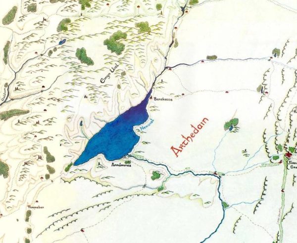
Returning to Lake Evendim, there’s something about the map by Pete Fenlon that captures the essence of the Tolkien map while adding details like a rough road (perhaps the remains of an ancient road) heading east from Annúminas to Fornost. There are numerous smaller settlements and towers that suggest an area less barren and unpopulated than other maps that preceded it. In all, there’s enough clay for a gamemaster to work with, hinting at a larger and richer world for characters in a game to inhabit than provided for in an epic focused on saving the world.


